|
 |
|

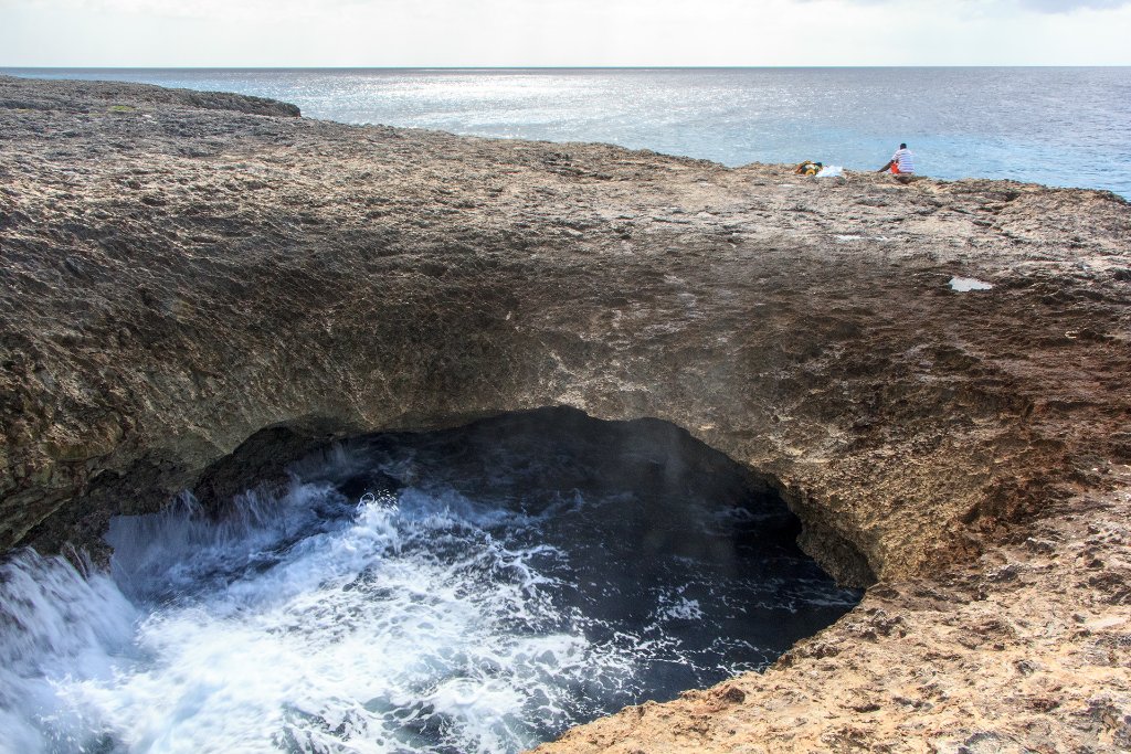
| Collapsed underwater cave | |
| Latitude: N 12°23'25,36" | Longitude: W 69°9'21,99" | Altitude: 8 metres | Location: San Pedro | Country: Curaçao | Copyright: Ron Harkink | See map | |
| Total images: 23 | Help | |
|
|
|
|
| Collapsed underwater cave | |
| Latitude: N 12°23'25,36" | Longitude: W 69°9'21,99" | Altitude: 8 metres | Location: San Pedro | Country: Curaçao | Copyright: Ron Harkink | See map | |
| Total images: 23 | Help | |